
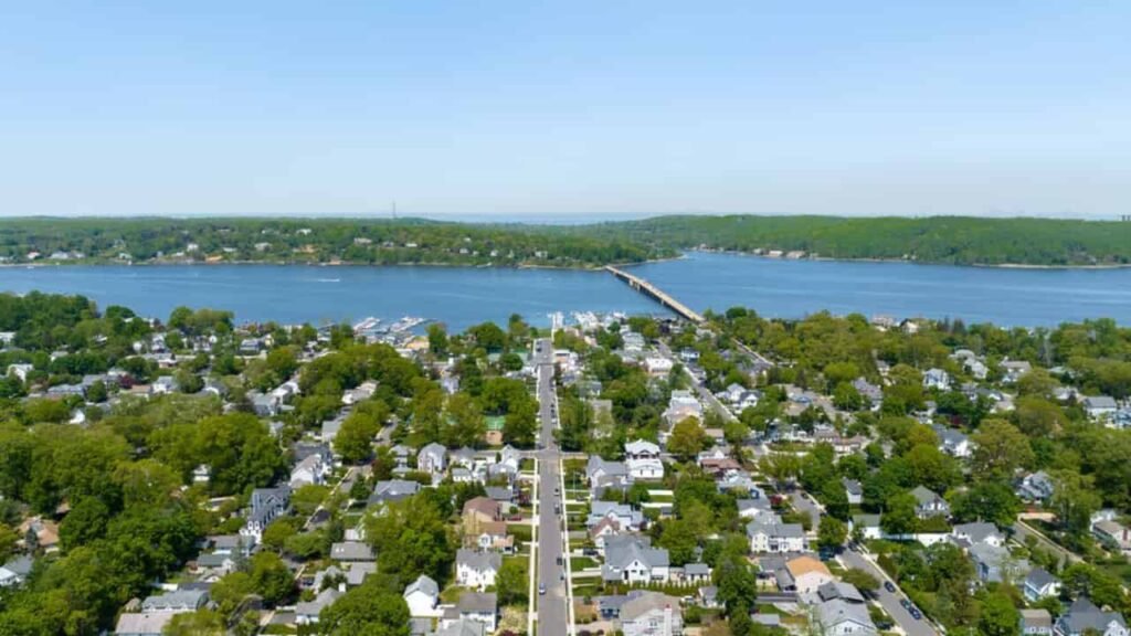
Monmouth County New Jersey Property Search
Search Monmouth County property records easily by owner name, parcel ID, city, or address (e.g., 78th St E). Instantly view property ownership, assessed values, and tax rate information.
New Jersey County Property Search
| Parcel Number | Owner Name | Property Location | Street Address | City & State | ZIP Code | County | Municipality / City | Property Class | Property Use | Land Value | Improvement Value | Total Assessed Value | Last Year Property Tax | Lot Size (Acres) | Year Built | Building Description | Last Sale Price | Last Deed Date | Last Record Update |
|---|


The property assessments in Monmouth County are conducted by local municipal Tax Assessors under the oversight of the Monmouth County Board of Taxation and the NJ Division of Taxation. The county includes 240,845 parcels, 268,412 matched buildings, 254,612 addresses, and 342,118 secondary-address parcels, with standardized zoning across all 53 municipalities, ensuring accurate valuations, fair taxation, and consistent property record management. The Tax Assessor plays a vital role in determining each property’s market value and maintaining up-to-date assessment records.
Monmouth County ZIP Codes & Cities
Search your city or ZIP below to find Monmouth County areas instantly.
Monmouth County New Jersey Property Overview
Monmouth County features 219,874 residential and 8,645 commercial properties, with single-family homes averaging 58 years old and 2,231 sq. ft. In 2026, 1,202 homes sold, foreclosures totaled 169, and just 0.61% were seriously underwater, while 46.5% of homes remain equity-rich. The effective 2025 property tax was 1.29%.
Residential Properties
219,874
Commercial Properties
8,645
Avg. Home Age Single Family
58 Years
Avg. Square Feet Single Family
2,231
Residential Sales 2026
1,202
Homes Seriously Underwater
0.61%
Residential Sales 2025
8,274
Equity Rich Homes percentage
46.5%
Effective 2025 Property Tax
1.29%
Total Foreclosure Filings 2026
169
Nearby Counties
Monmouth County is bordered by four counties in Central Jersey: Middlesex County to the northwest, Ocean County to the south, Mercer County to the west, and Burlington County to the southwest. These counties create key regional connections.
153,420 Properties
116,346 Properties
228,730 Properties
258,331 Properties
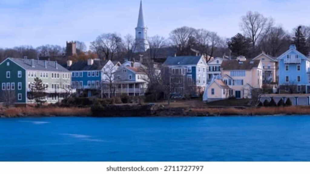
Popular Cities
Monmouth County, NJ, features sought-after communities like Rumson, known for luxury waterfront estates, and Fair Haven, prized for walkable streets and top schools. Holmdel offers spacious homes and the PNC Bank Arts Center, while Middletown, Red Bank, and Sea Girt provide vibrant culture, amenities, and coastal living.
4,020 properties
Rumson City
2,139 properties
Fair Haven City

6,068 properties
Holmdel City
How To Search Property In Monmouth County New Jersey
By Owner Name
Discover Monmouth County property records instantly with our search tool lookup by owner name and access comprehensive details on ownership, values, and property information.
Search By Address
Use our Monmouth County property lookup tool to search by address and instantly view parcel details, estimated home values, ownership, and property tax records.
Search By Parcel
With our Monmouth County parcel search tool, quickly find properties by parcel number and view precise boundaries, ownership details, and complete property records.
Search By Zip Code
Use our Monmouth County parcel search tool to locate properties by parcel number and instantly access accurate boundaries, ownership information, and full property records.
Monmouth County New Jersey Property Market Trends (2024–2025)
Monmouth County’s real estate market remained active throughout 2024–2025, demonstrating steady residential sales and moderate foreclosure activity. Median home prices peaked at $680,500 in February 2025, with an average down payment of $157,812. During this period, a total of 544 homes were sold, supported by 420 purchase loans, 397 refinance loans, and 265 HELOCs. Foreclosure filings reached 86, with 1 completed as an REO property. The county’s single-family homes continue to show strong equity, highlighting consistent demand and a balanced market. Monmouth County’s blend of coastal communities, established neighborhoods, and vibrant downtown areas ensures a stable and highly attractive housing environment for both buyers and investors alike.
Monmouth County Property Market Trends (Feb 2025)
Monmouth County New Jersey Property Data Insights
Monmouth County provides comprehensive property records for over 240,845 parcels, including building details, addresses, and zoning classifications. Updated in 2026, this dataset offers accurate information on land, structures, and property taxes. Homeowners, buyers, and real estate professionals can use these insights to evaluate property values, plan developments, and track current real estate trends across the county.
Parcels Overview
Monmouth County currently has over 240,845 parcels recorded in its property database. This comprehensive parcel information provides accurate land ownership details, tax mapping, and assessment records for both residential and commercial properties across the county, supporting informed decisions for homeowners, investors, and researchers. Data was last updated in 2026.
Data Refresh & Updates
The most recent refresh date for Monmouth County property records is 2026, providing accurate land, parcel, and valuation data. Regular updates ensure that homeowners, buyers, and researchers have access to the most current and reliable property information for informed real estate decisions.
Matched Buildings Data
Monmouth County includes over 268,412 matched buildings linked directly to parcel records. Building imagery and structural data, updated through 2026, provide detailed insights to support property evaluations, planning, GIS mapping, and assessment analysis for both residential and commercial properties across the county.
Secondary Address Matching
Monmouth County includes over 342,118 matched secondary addresses linked to parcel records, covering unit numbers, alternate mailing locations, condos, apartments, and other non-primary address points. This enhanced address layer improves geocoding accuracy, parcel matching, and property analysis. The address data was last updated in 2026, reflecting the most current available information.
Standardized Zoning Coverage
Monmouth County has over 240,845 parcels with standardized zoning coverage in its parcel dataset. Zoning codes and descriptions have been cleaned and normalized across most county parcels for consistent land-use classification and analysis. This standardized zoning data comes from the county’s most recent update as of 2026, helping analysts and planners reliably use zoning attributes in mapping, property assessment, and GIS workflows.
Monmouth County New Jersey Cities Overview (2026 Estimates)
Hennepin County, Minnesota’s 2026 cities overview shows it comprises 45 incorporated cities with a total estimated county population of about 1.29 million in 2026. The largest city is Minneapolis with an estimated ~427,499 residents, followed by Bloomington, Brooklyn Park, Plymouth, Maple Grove, Eden Prairie, Edina, Minnetonka, St. Louis Park and Richfield, reflecting diverse urban and suburban communities across the county.
| Rank | City | Population (2024 Est.) | Previous (2020) | Growth % | Density (per sq mi) | Area (sq mi) | Type |
|---|
FAQs
How can I search for property ownership and parcel details in Monmouth County?
You can use Monmouth County’s official property search tools to locate information by parcel number or property address. The system provides ownership details, tax mapping, property type, and land assessments, helping homeowners, buyers, and investors make informed decisions.
WWhen is Monmouth County property data updated?
Property and parcel data in Monmouth County is regularly refreshed, with the most recent update on January 1, 2026. This ensures that land, building, and zoning information is current and reliable for analysis, planning, and research purposes.
What types of property records are available for Monmouth County parcels?
Monmouth County maintains detailed records for each parcel, including primary and secondary addresses, matched building information, tax assessments, zoning classification, and property valuations. This comprehensive dataset supports real estate research, development planning, and GIS mapping.
How can I verify zoning and land-use information for a property?
Standardized zoning data in Monmouth County is available for most parcels, reflecting cleaned and normalized zoning codes. This allows planners, developers, and property owners to verify land-use classification for building, investment, or compliance purposes, based on the latest December 29, 2025 update.
How does Monmouth County support property research and analysis?
The county provides extensive datasets including parcel records, matched buildings, secondary addresses, and standardized zoning coverage. These resources help researchers, investors, and local authorities analyze property trends, evaluate real estate opportunities, and make informed decisions with accurate and updated information.